Drone data
Field to screen
Mapping, inspection and monitoring for engineering, infrastructure and government.
Survey-grade digital twins of built assets.
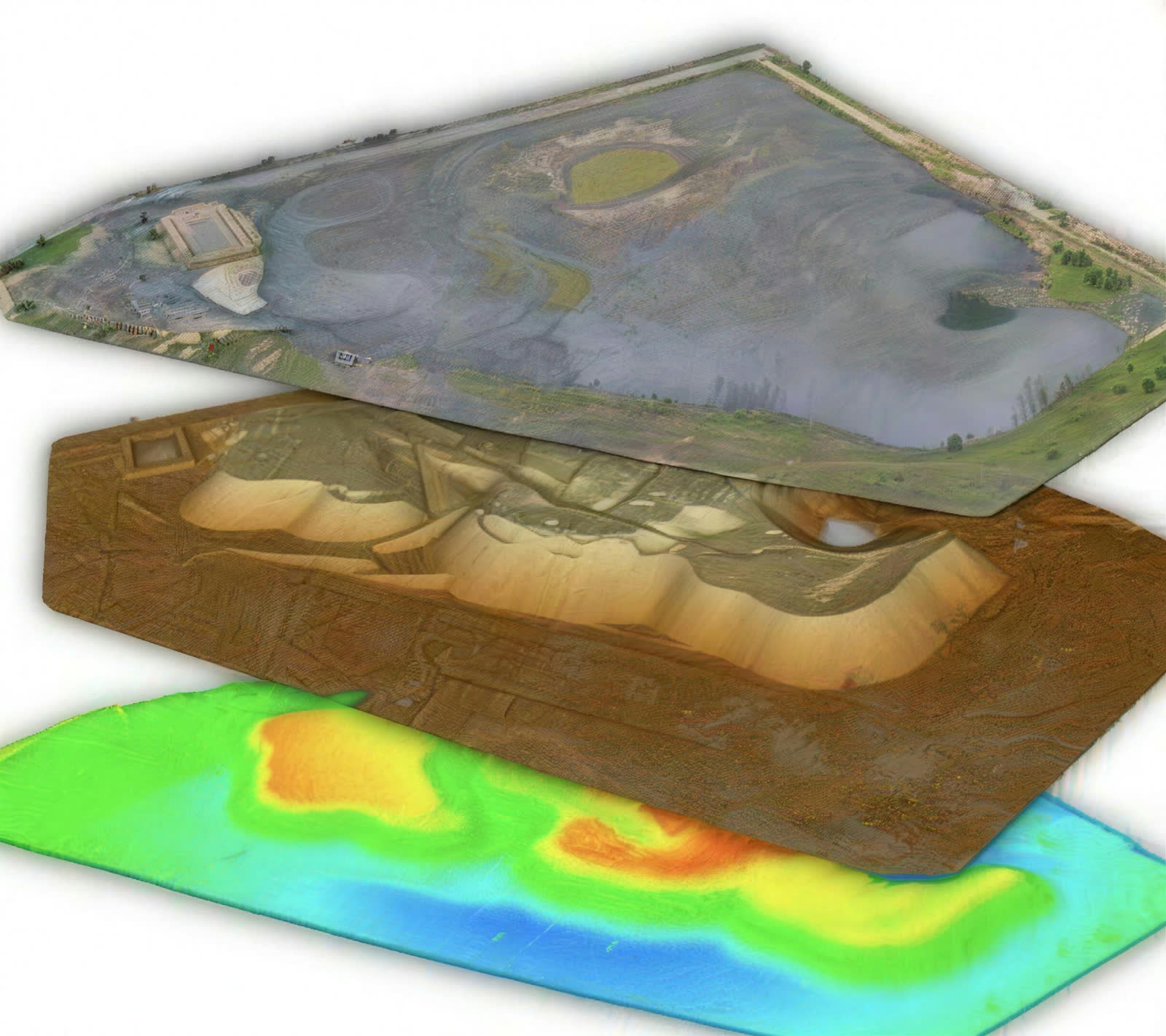
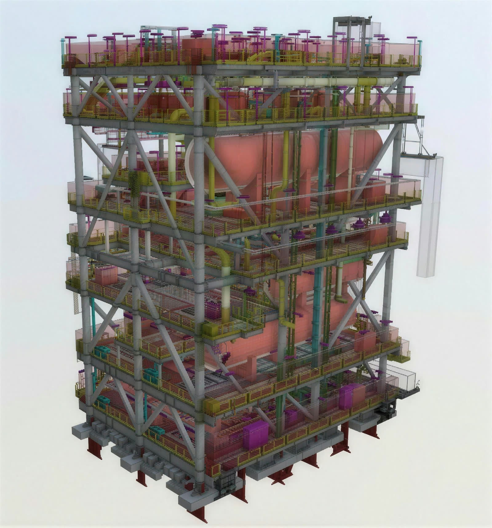
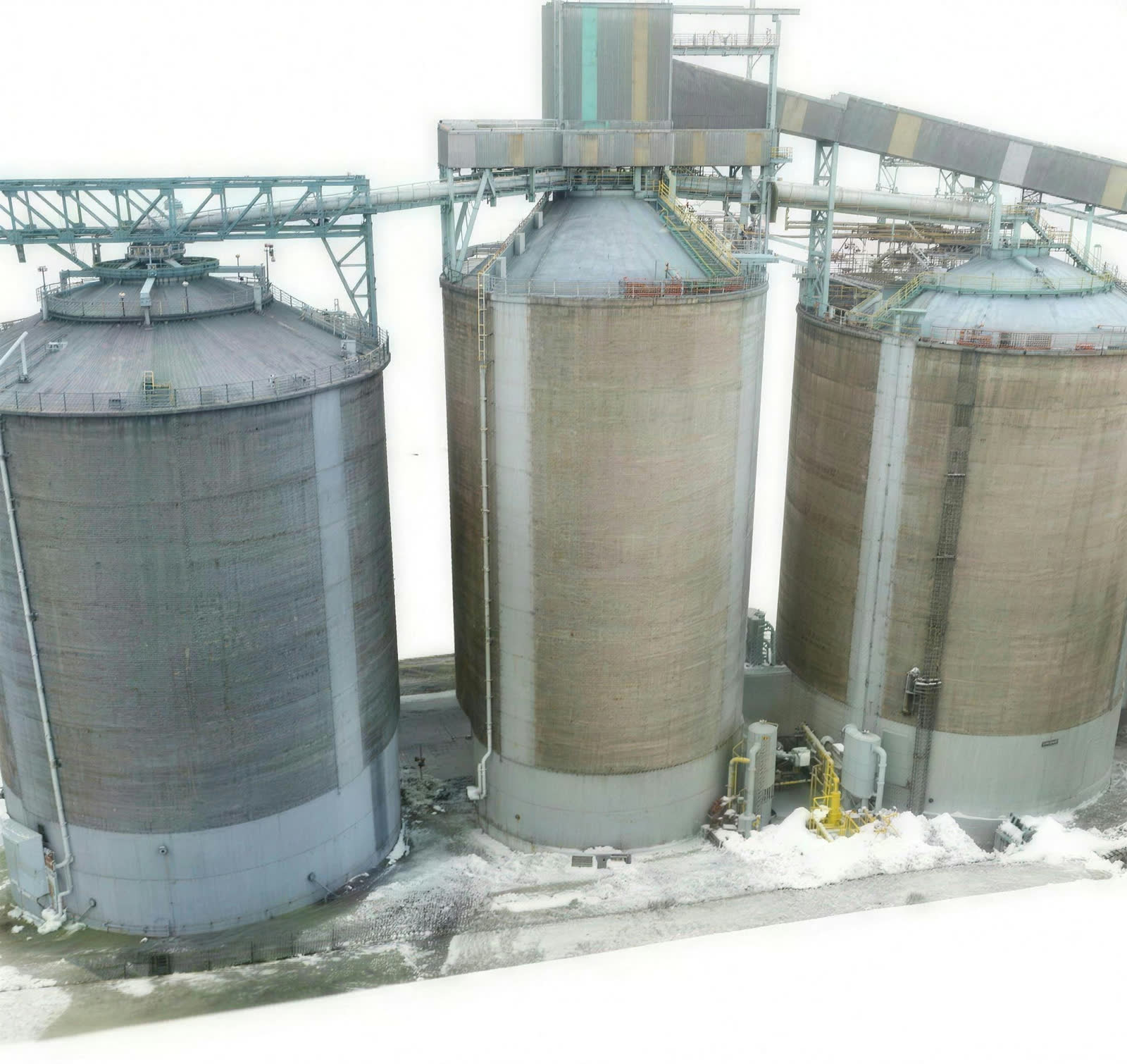
We deliver survey-grade digital twins of built assets for structural analysis and engineering validation. Using UAV-based photogrammetry and geospatial processing, we generate precise 2D and 3D models for inspection, deformation monitoring, volumetric computation, progress verification and data-driven lifecycle asset management.
From site to model.


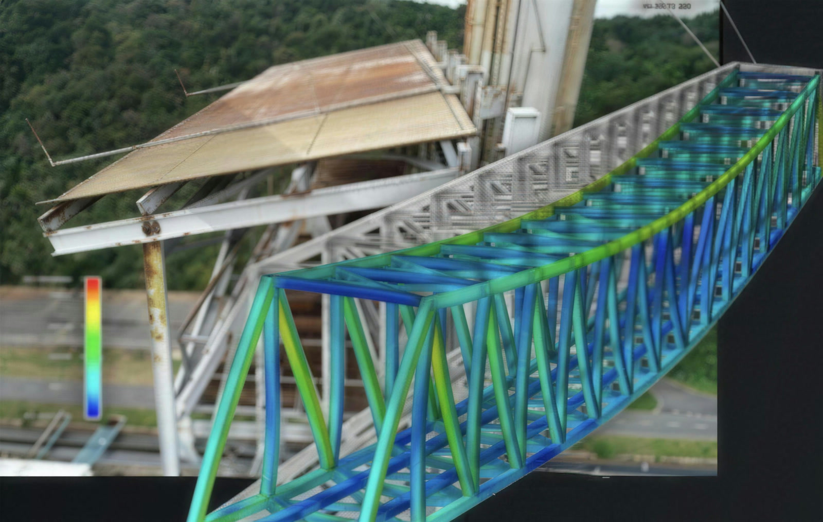
Structural audits, compliance and safety

Bathymetry, survey, mapping and site monitoring
Powerful survey tools.
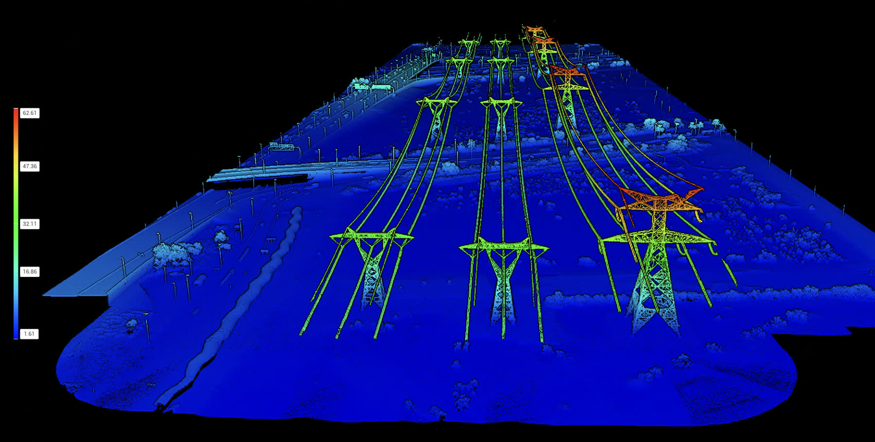
- High-precision LiDAR scanningMillions of 3D points with centimetre-level accuracy.
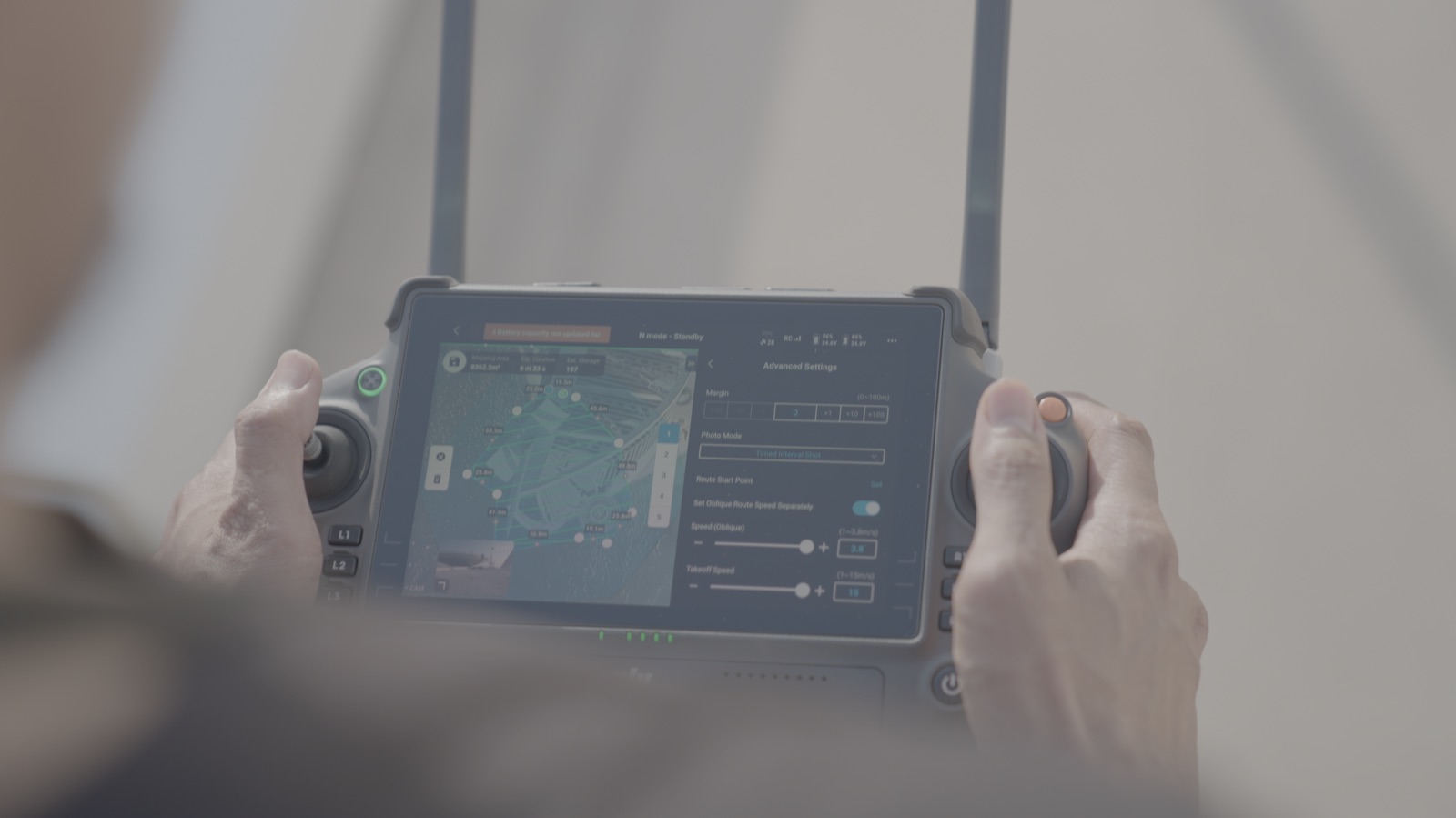
- Large-scale mappingEfficient, high-accuracy data capture across large and complex sites.
- Volumetrics AIIntegrated with DeltaScan Intelligence's platform for automated volume calculation and visual reports.

Traditional survey vs SKY I.
From survey to engineering deliverables.
- 01Scope and mission planning1 day
- 02Flight approvals3–6 days
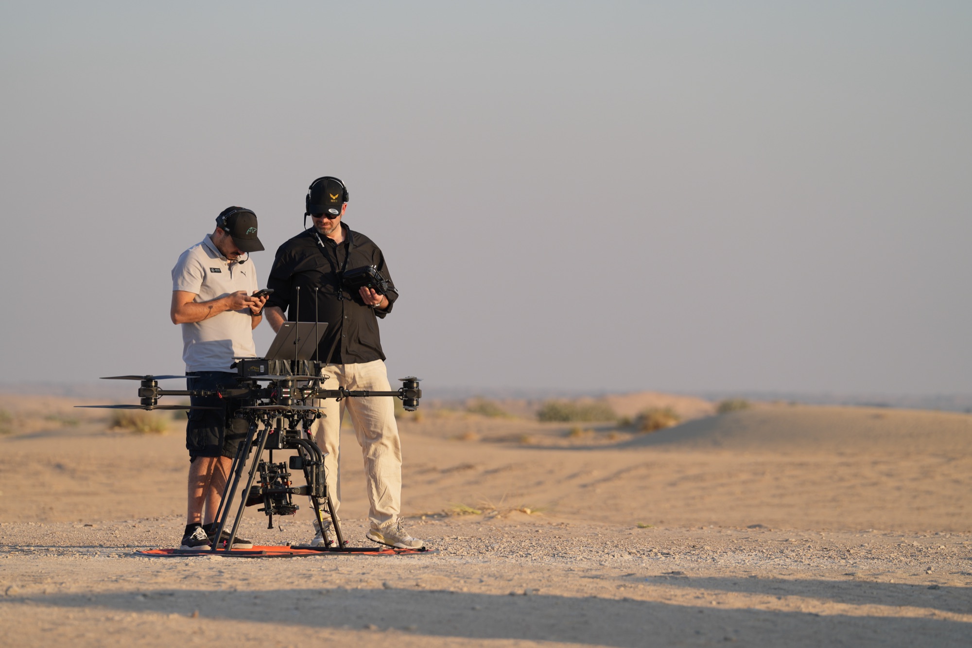
- 03Operation and data collection1 day
- 04Data processing1–7 days
- 05Final deliverables and project closureReports and models
Powerful deliverables and reporting.
In-depth reporting with software analysis and 3D visualisation: volume, deflection analysis, failure types, severity ratings, advised material BOQ and support for future repair specification.
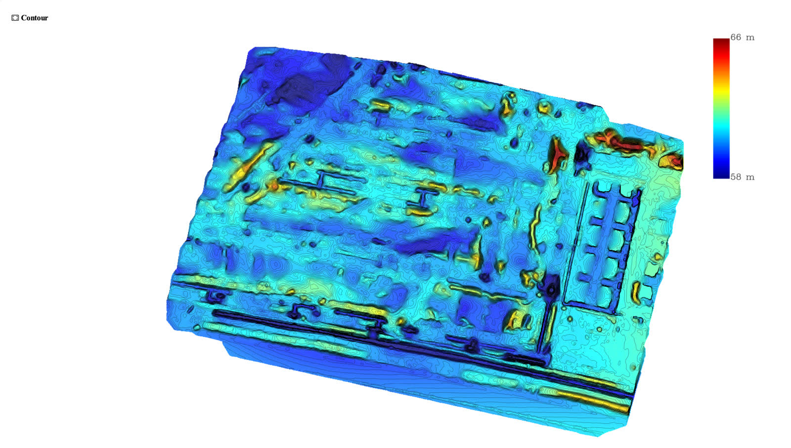
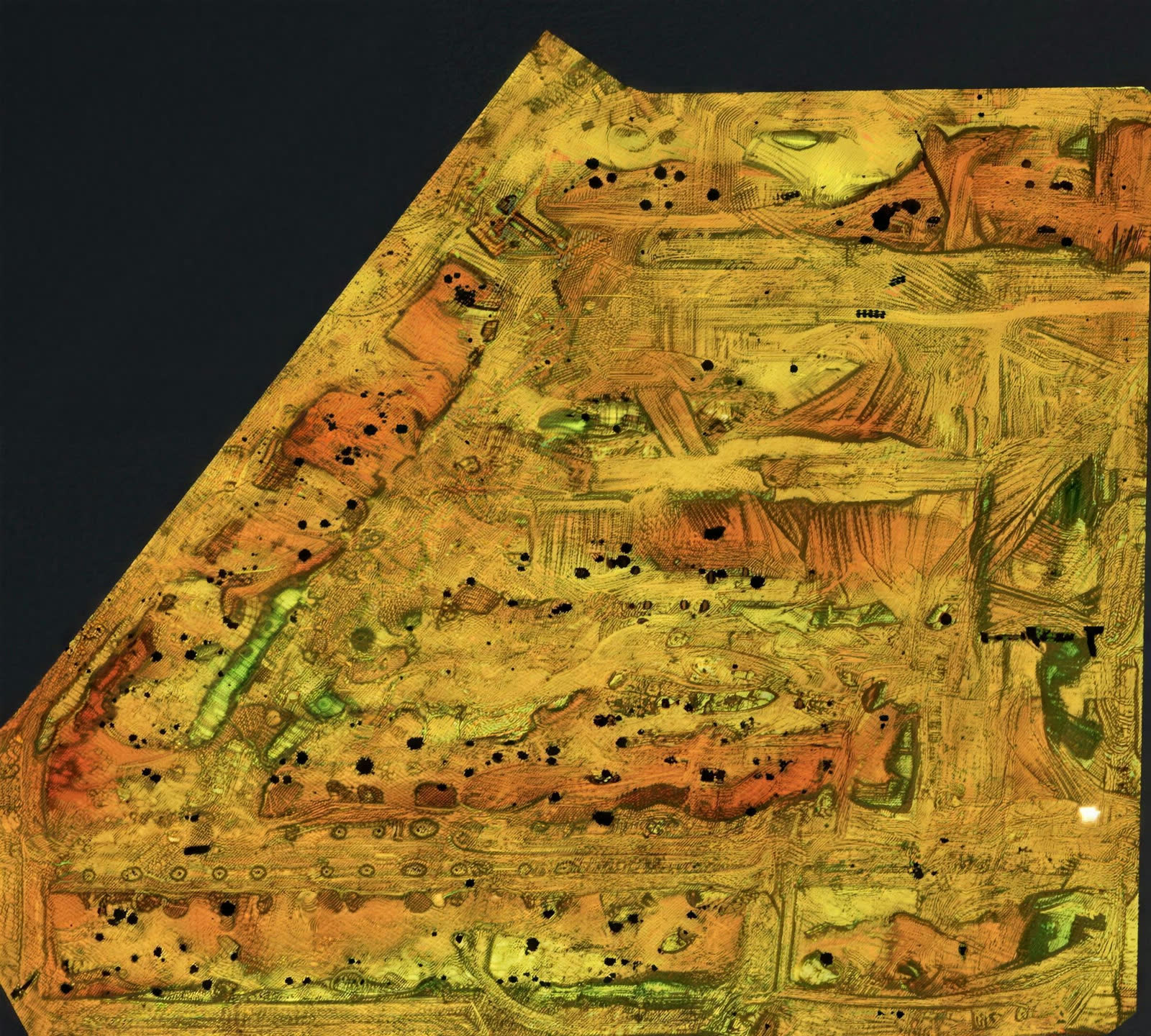
Contour map

Change analysis heatmap

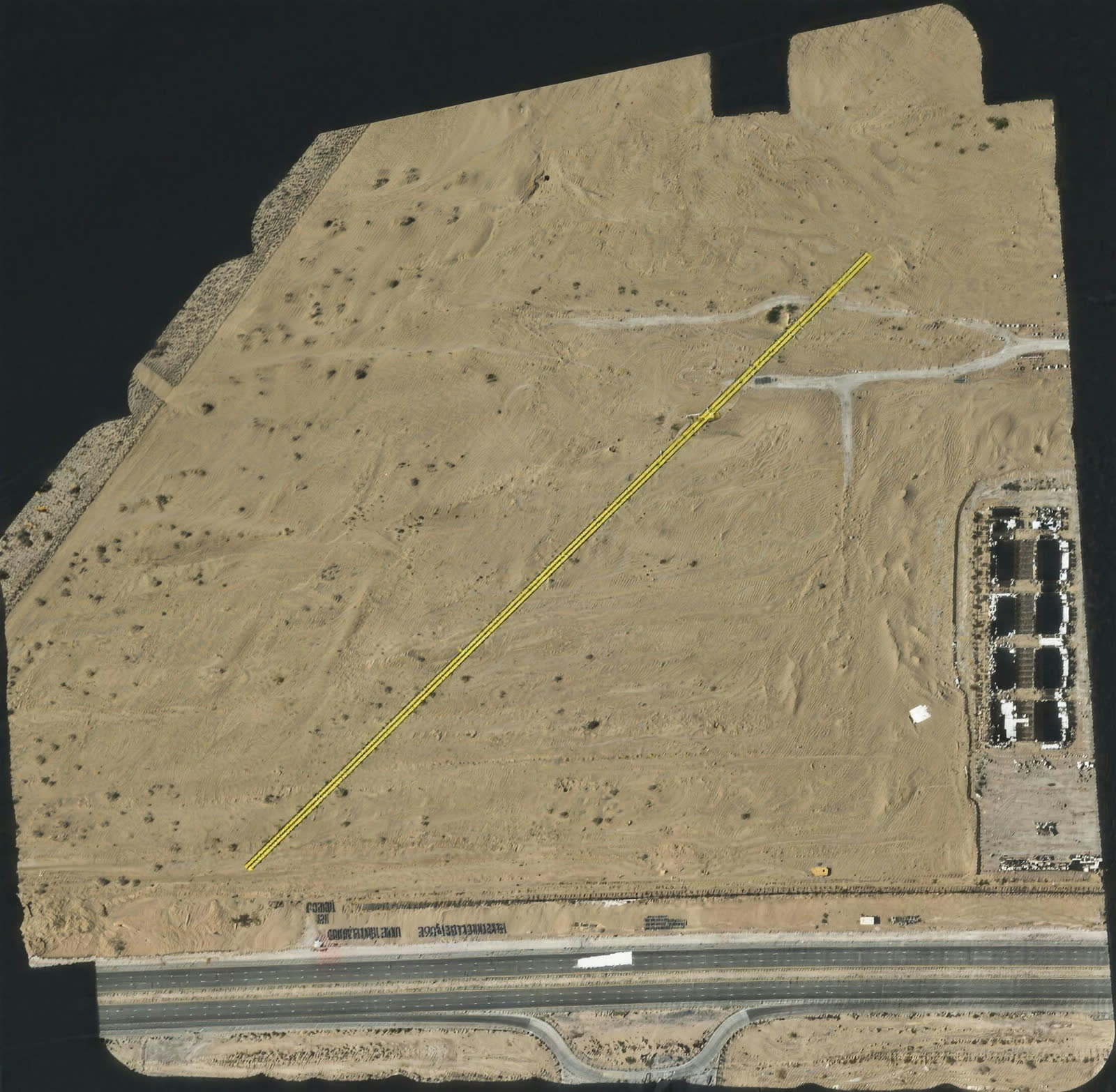
Cross-section RGB

Deflection analysis

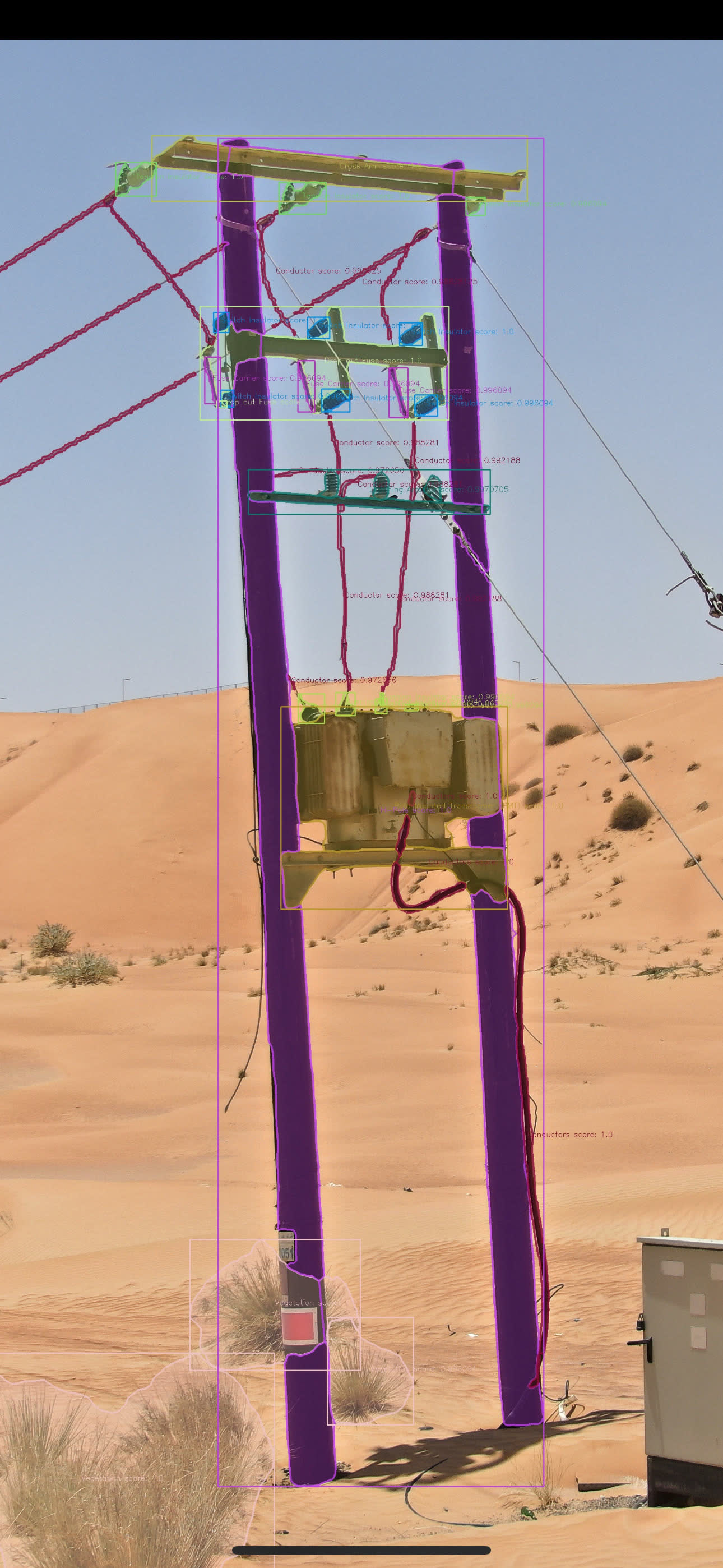
AI pole inspection
Built for survey-grade work
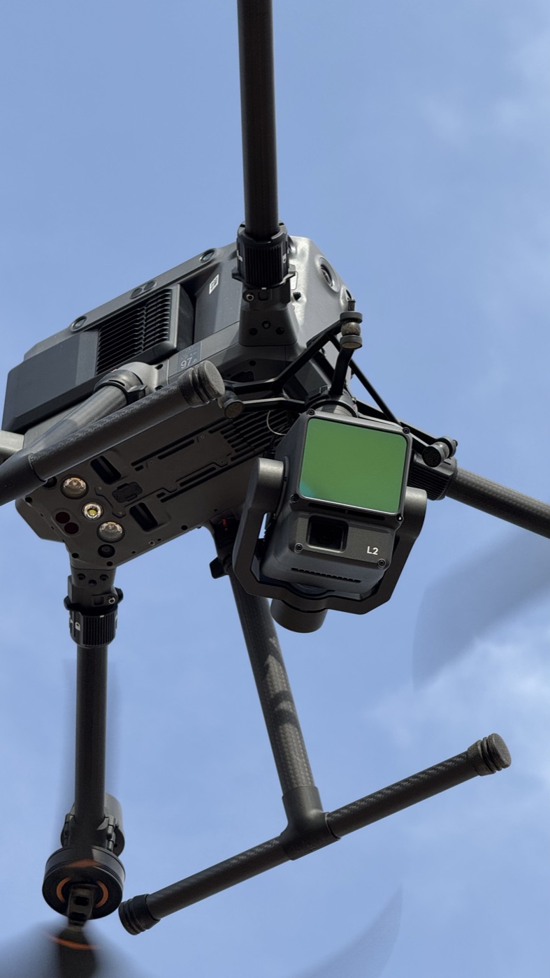
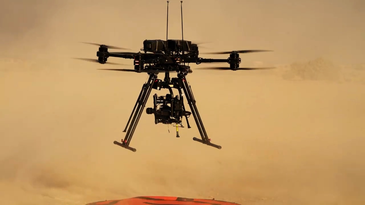
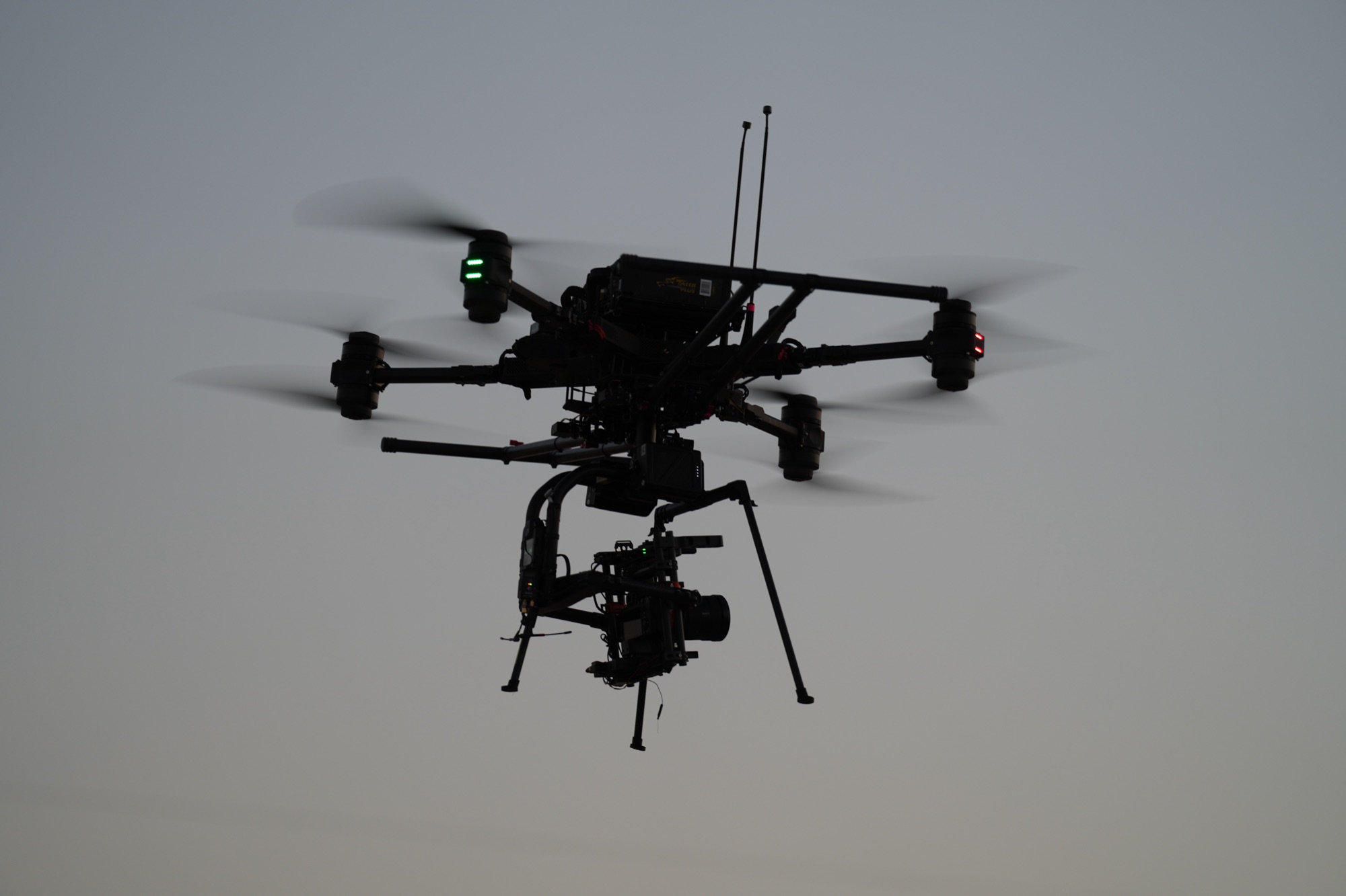
Every part of the aircraft serves one goal: accurate data from the air.
Why SKY I is the best partner.
SKY I has led the drone industry since 2018 in capability, precision and performance.
Time-criticalPermit acquisition
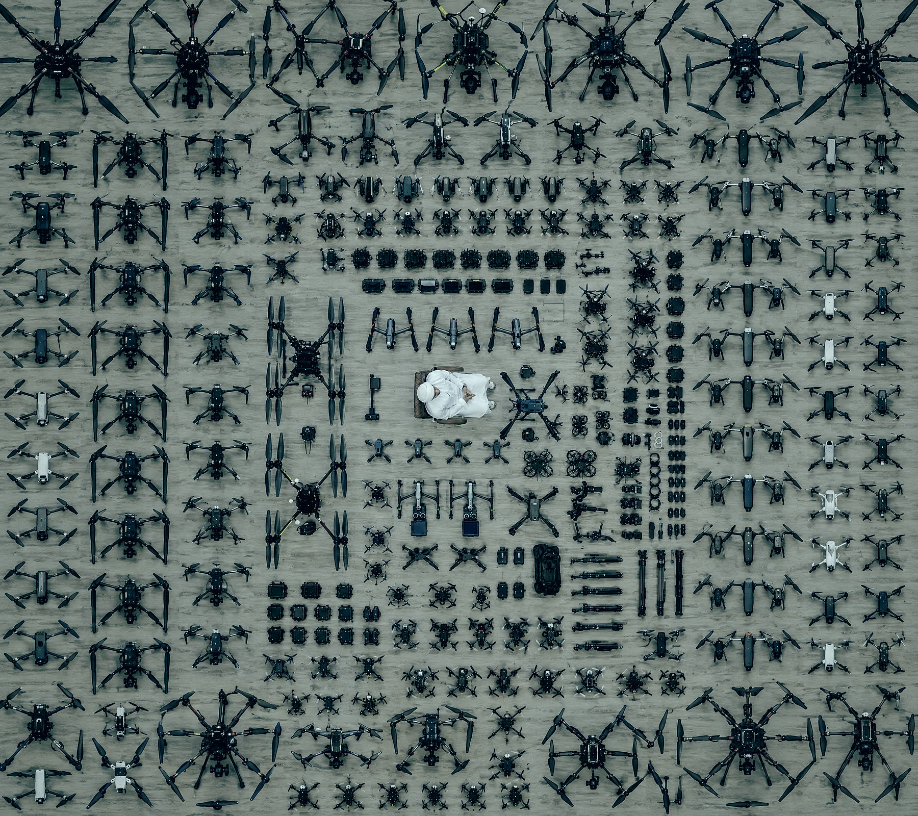
ExtensiveDrone fleet
USD 5MFull liability coverage
ISO 45001HSE certified team